In recent years, Google Maps has changed the way we look at the world, allowing anyone with internet access to explore every square inch of the planet we call home.
However, Google has started to use its service for more, mapping out pollution levels in cities, starting with Los Angeles.
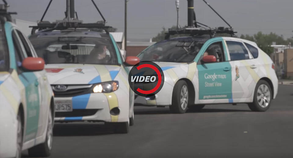
The technology company recently partnered with air-quality sensor producer Aclima to create a virtual map of pollution throughout the City of Angels. In the past two years, two specially-equipped Google Street View cars have driven more than 100,000 miles for over 4,000 hours to collect and analyze 1 billion hyperlocal air pollution data points, Co Design reports.
Results from the pilot study have just been released, depicting areas of pollution on a heat map, with yellow representing high pollution and blue representing low pollution. The maps show that LA’s highest areas of pollution are its major highways and streets.
Google intends to continue collecting air quality data in California, and ultimately hopes to scale up its efforts.