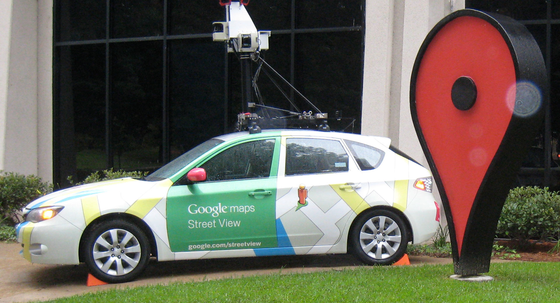
Google has revealed that it has captured more than 10 million miles of Street View imagery in the 12 years since the service was launched.
Google co-founder and former chief executive Larry Page first thought of the idea of Street View back in 2004 with the goal of creating a 360-degree map of the world. The company’s cars have mapped an extraordinary number of roads across the world and, in more recent years, has started to map remote areas inaccessible by car using special ‘trekkers’ (backpacks) complete with cameras and worn by hikers, camels, and sheep. Google will even strap its cameras to bicycles, boats, and ziplines if it has to.
Street View Doesn’t Just Know What Your House Looks Like: What Our Cars Tell Google Street View’s AI About Our Political Views
It’s not just Street View that has captured an extraordinary amount of imagery. Google Earth has no less than 36 million square miles of satellite imagery available to browse. According to the company, it has mapped out parts of the world where 98 per cent of people live.
“Imagery is at the core of everything we do,” director of product at Google Maps Ethan Russell told CNET. “We think of it as the foundation of the entire mapmaking process.”
There are many places around the world that have yet to be mapped by Google Street View, including large portions of Africa, huge areas throughout Asia and Russia, as well as much of Northern Canada and parts of South America.
Nevertheless, Google Street View has transformed the way many of us view the world, allowing users to travel virtually to the other side of the world from the comfort of their couch.
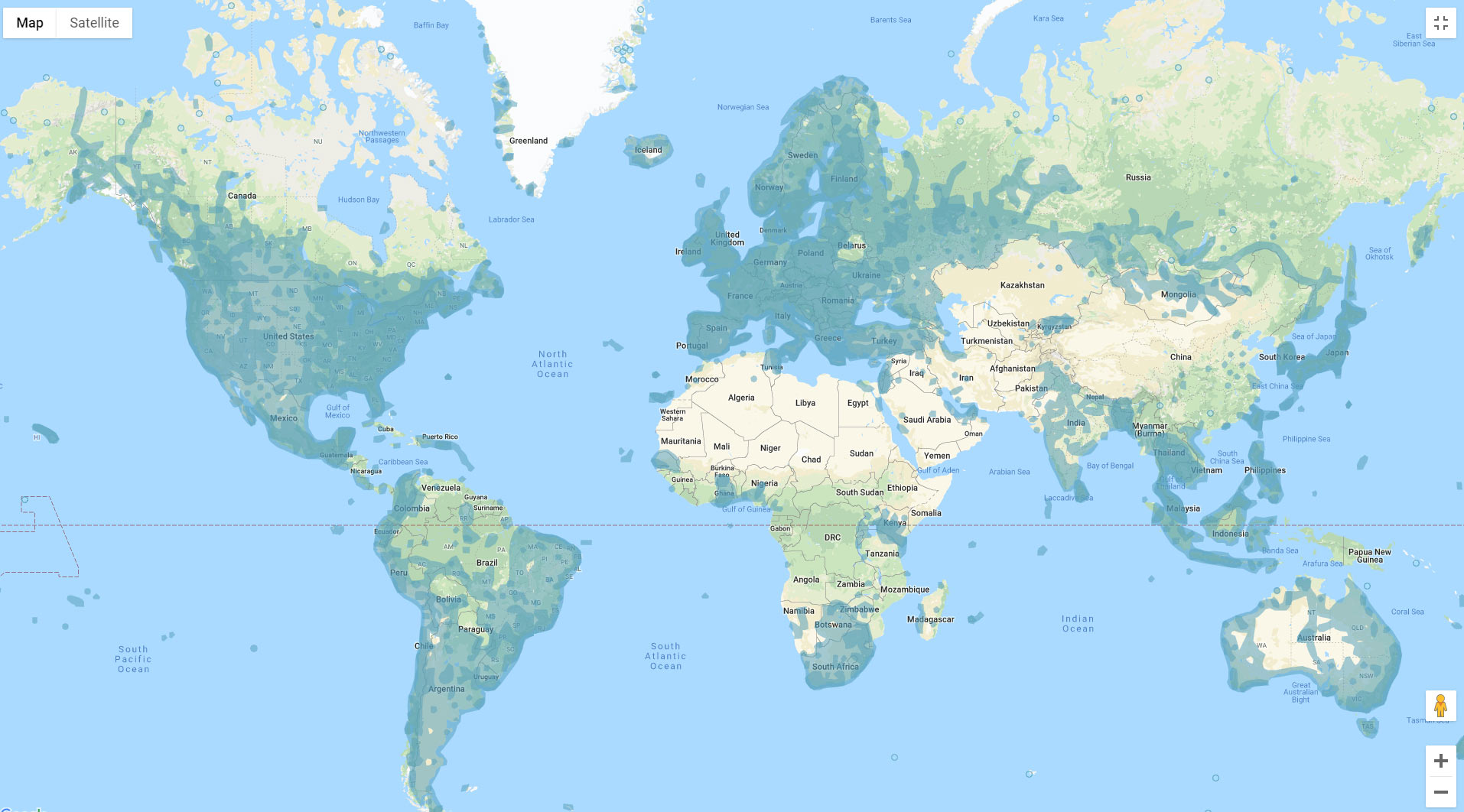
Blue indicates where Google Street View is available