
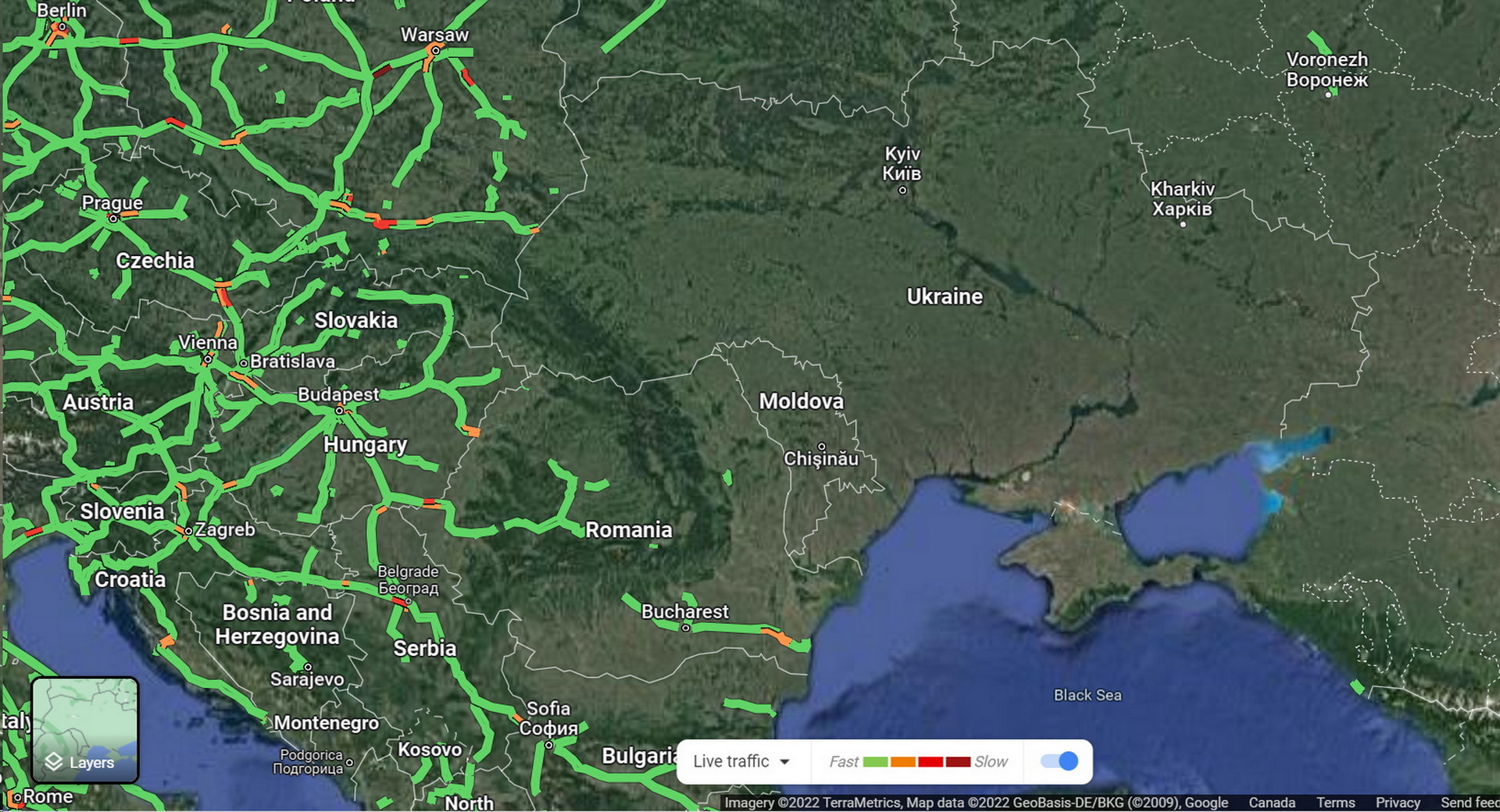
Google has temporarily disabled Google Maps’ live traffic feature in Ukraine in order to protect citizens during the Russian invasion, report Vice and Reuters.
The feature, which uses anonymous location data collected from Android smartphones, is intended to give users a sense of how much traffic there is on a given road. The feature superimposes red, yellow, and green lines over roads on the map to give users an idea of what congestion is like. During a war, though, experts say that the data could offer insight into the progress of the invasion.
That was the case last week when open-source intelligence expert Dr. Jeffrey Lewis tweeted about a traffic jam on the road from Belgorod, Russia, to the Ukrainian border. His tweet was sent on February 23, before the invasion had actually started.
Read Also: Russian GP Canceled, May Switch To Turkey Following Ukraine Invasion
According @googlemaps, there is a "traffic jam" at 3:15 in the morning on the road from Belgorod, Russia to the Ukrainian border. It starts *exactly* where we saw a Russian formation of armor and IFV/APCs show up yesterday.
Someone's on the move. pic.twitter.com/BYyc5YZsWL— Dr. Jeffrey Lewis (@ArmsControlWonk) February 24, 2022
“I think we were the first people to see the invasion,” Dr. Lewis told Motherboard. “And we saw it in a traffic app.”
In a later tweet, he clarified that the data was not coming from soldiers’ phones. Rather, it was a sign that the ranks of military vehicles that had previously been seen parked near the border were on the move because they were causing unusual traffic jams for the civilians in the region.
“We all looked at the picture, and was like, oh shit, it’s coming,” Dr. Lewis explained. “So it’s the prior work of knowing that there’s a giant Russian armored unit sitting right there that allowed us to say, like, oh, I know what that traffic jam is, they’re getting on the road.”
Google’s live traffic data option no longer shows any information in Ukraine but does in neighboring countries. The service will, however, still provide users with directions and information about road closures but no more precise information on traffic. It’s unclear if Google has ever disabled these features during a war.
To clear up a misconception: The traffic data is most likely NOT from soldiers carrying smartphones. Instead, civilians are probably getting stuck at roadblocks and @googlemaps is recording that.
— Dr. Jeffrey Lewis (@ArmsControlWonk) February 24, 2022